
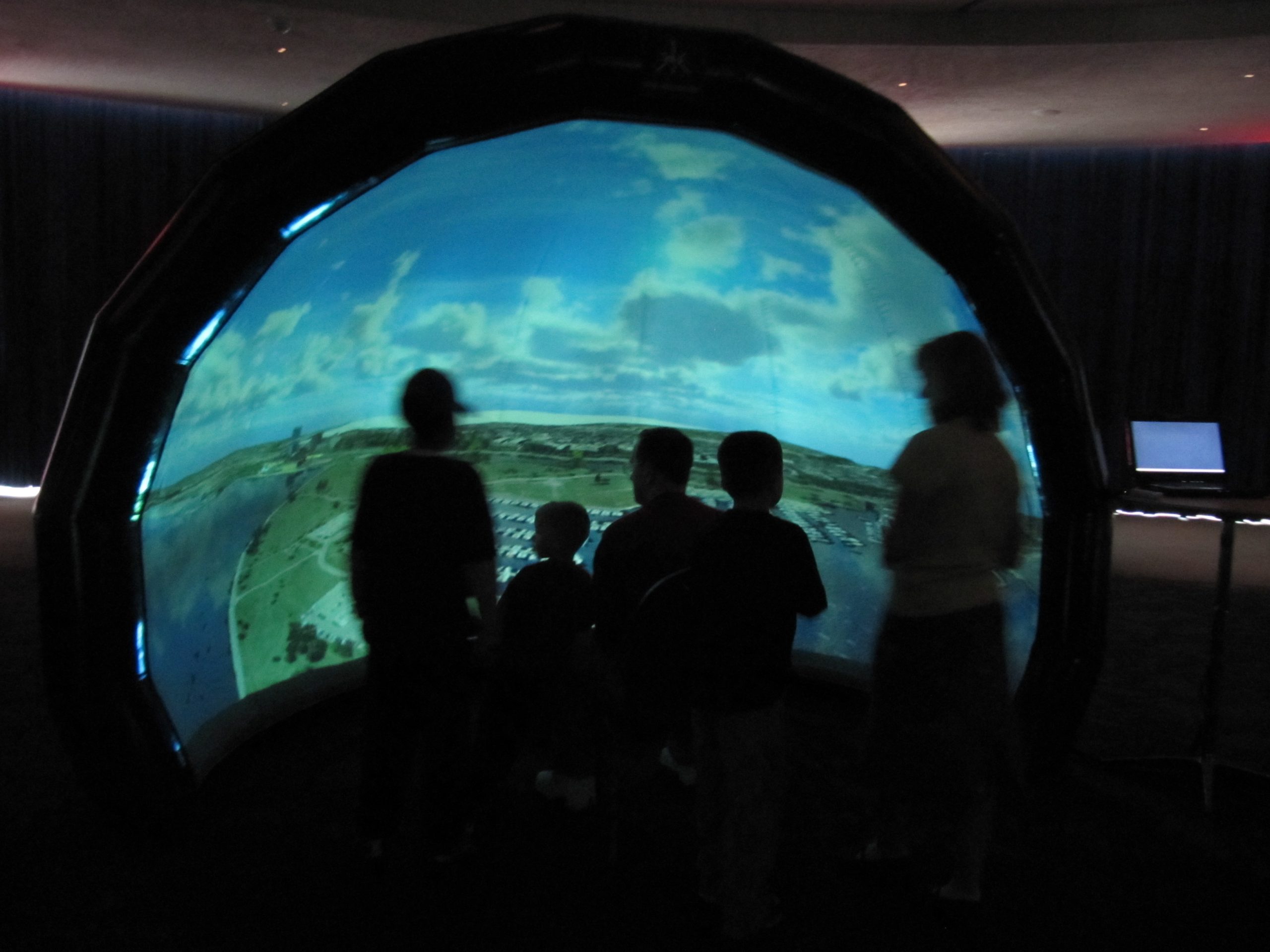
 We’ve developed new tools within the Unity 3D game engine as part of our long-term collaboration with the Renaissance Computing Institute at the University of North Carolina – Asheville. Through this project, RENCI staff can use Unity to import GIS files for realistic, interactive representations of terrain data, which they use in education and decision support for Western North Carolina policymakers and citizens. RENCI shows the interactive content in the GeoDome Portal at their public engagement site in downtown Asheville to illustrate the impact of decisions about development and land use on the environmental balance of the region.